Providing Safe & Reliable Transportation

In order to help meet the State’s growing transportation needs, Florida’s Turnpike Enterprise (FTE) strives to maintain a strong level of communication with its customers in order to make their experiences more useful, efficient and safe. FTE has several tools and services to keep customers informed about roadways, traffic, and incidents.

Traffic Updates

Select below to learn more about traffic updates.

Toll Calculator

Select the image below to view the toll calculator.

Illustration of a smartphone displaying Florida, set on an unfolded map with colorful, abstract terrain.

Florida's Turnpike System Map

Service Plazas

8 service plazas on Florida’s Turnpike | Open 24 hours a day 7 days a week | Located approximately every 45 miles

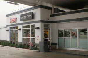
Gas station convenience store with Dunkin’ Donuts sign and glass windows. Signs read Snapper Creek and Emergency Shut-off.”

SNAPPER CREEK

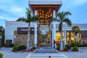
Modern entrance to Pompano Beach center with palm trees, lit ceiling, and large glass doors at dusk.

POMPANO BEACH

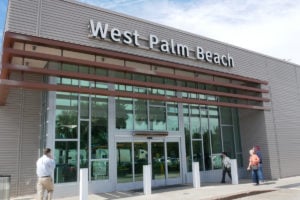
Exterior of West Palm Beach building with glass doors and awning; people walking by.

WEST PALM BEACH

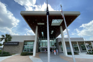
Modern building entrance with large overhang, glass doors, and flags. People walking towards entrance under blue sky.

PORT ST. LUCIE / FORT PIERCE

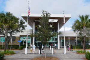
Modern building entrance with people walking, two flagpoles, and trees around. Cloudy blue sky in the background.

FORT DRUM

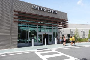
Front view of Canoe Creek entrance with people walking outside under a clear blue sky.

CANOE CREEK

Exterior of Turkey Lake building with large glass entrance and a clear sky.

TURKEY LAKE

Modern building with a sign reading Okahumpka, surrounded by palm trees and a clear sky.

OKAHUMPKA

SAFETY & ASSISTANCE